
Summary
Reigate & Banstead Borough Council (RBBC) have had no regrets in moving to XMAP. Implemented ahead of schedule, multiple cost savings across the authority, more staff using GIS and the development of a strong relationship trust.
The challenge
RBBC found that its GIS costs were rising significantly year on year, and with quotes to move to a fully cloud based solution raising concerns, they went to market in 2024 to identify and procure an alternative GIS solution.
The solution
XMAP was selected because of its strong functionality and features, its minimal deployment because it was fully hosted and cloud ready out-of-the-box, and it delivered significant cost savings. The Geoxphere team were sighted for being responsive and forward thinking, and most of all helpful.
The Implementation
The Geoxphere team was keen to get RBBC up and running as quickly as possible. Within one day of being awarded the contract, XMAP, GeoServer, PostGIS and the wider infrastructure were set up. Three days later, all data from RBBC’s outgoing GIS solution had been loaded into its new fully hosted PostGIS database and registered in XMAP. Geoxphere also provided a data health check report, allowing minor attribute and geometry issues to be resolved before go-live.
As XMAP and PostGIS were configured so quickly, RBBC was able to run both systems in parallel and migrate users gradually. This gave the council time to ensure its back-office systems continued to work properly. The rollout was so successful that RBBC was able to retire its outgoing GIS solution a full month ahead of schedule.
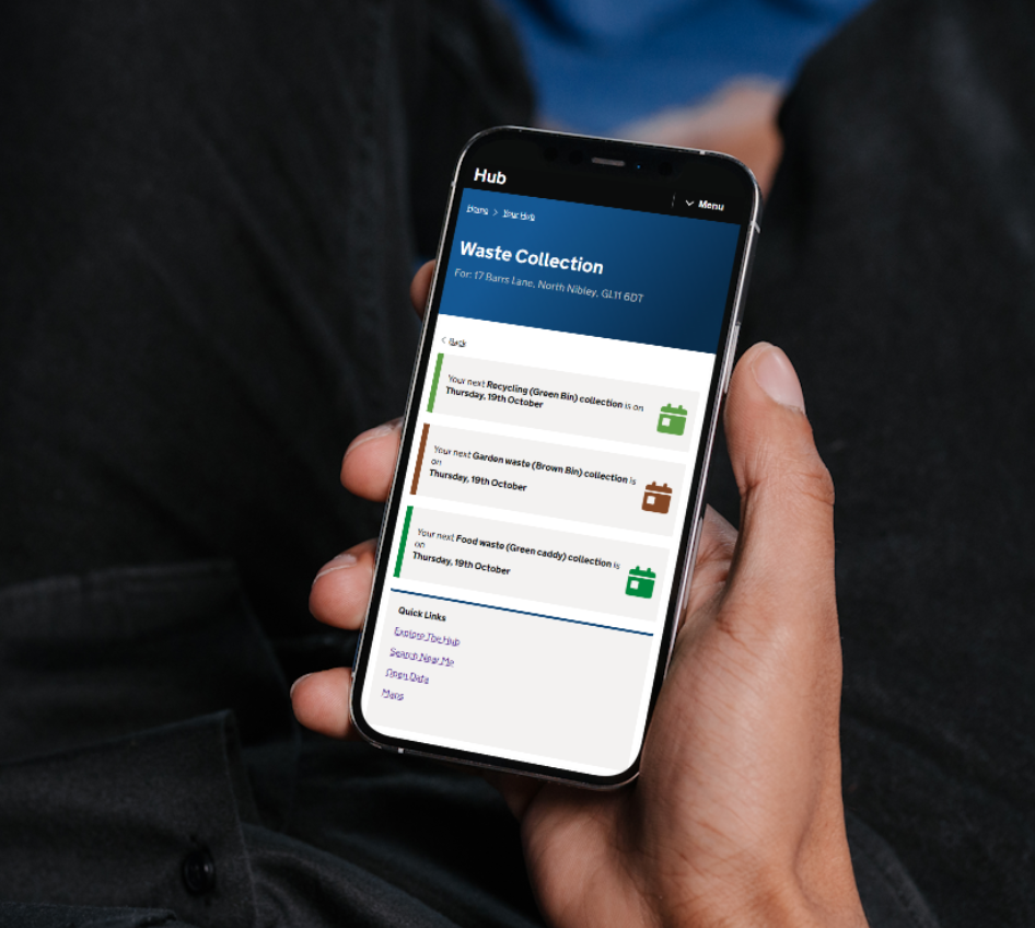
The council also implemented Hub, a component of XMAP that gives residents access to a range of data resources. Rebranded by RBBC as Where I Live, it enabled the council to quickly share waste collection, planning, heritage and environmental information through a property search. Because no maps were required, the service also met accessibility needs more effectively.
The Results
After implementation, RBBC was able to move a significant number of QGIS users to XMAP, reducing the burden on both IT and the GIS team to maintain the software and support users. For power users who still needed QGIS, RBBC connected it to the new hosted PostGIS database. This meant that, wherever the data was updated, QGIS users, XMAP users, and the public all had access to the same up-to-date information.
RBBC’s trust in Geoxphere was reflected further in 2026 in its decision to appoint a member of the team as part-time GIS lead while the council recruited a new full-time postholder. Similar extended support has been provided to a number of our customers over the years, reflecting the confidence they place in our team.