COMMUNICATION
News & Updates
Latest news across all brands and services
-
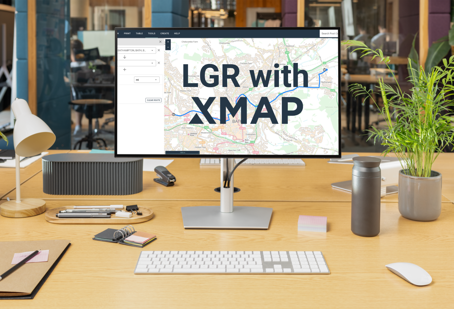
One council, one map: why XMAP fits for LGR
On the 16th July, the government announced local government reorganisation decisions for a further 14 areas. We’re offering to help, providing a completely free XMAP licence for shadow councils to make those cost-savings a reality.
-

Geoplace Street Naming & Numbering Collaboration and Innovation Award 2026 for Surrey Heath Borough Council thanks to XMAP collaboration
Surrey Heath Borough Council has won the **GeoPlace Street Naming & Numbering Collaboration & Innovation Award 2026** after partnering with Geoxphere to develop a bespoke XMAP solution. By connecting property, planning and revenue data across departments, the council has improved collaboration, streamlined processes and unlocked the full value of its location data.
-

Successful launch of Parish Online Wellbeing helping clerks and councillors cope under pressure
Parish Online Wellbeing, a new coaching service for clerks and councillors was launched in May 2026. It allows clerks to access a free one-to-one session with our wellbeing and business psychologist, Sarah. It’s already helped many councils where staff or councillors are struggling with isolation, civility and respect issues or coping with workload. Due to…
-
Parish Online supports Nature Recovery LNRS project in Cambridgeshire
The Parish Online team have been working closely with the Community Nature team at Cambridgeshire County Council to make mapping nature recovery easier for local councils. We’ve enhanced the software with new editing tools, and provided extended free access to the software for all Cambridgeshire parishes through our Community Interest Company fund.
-
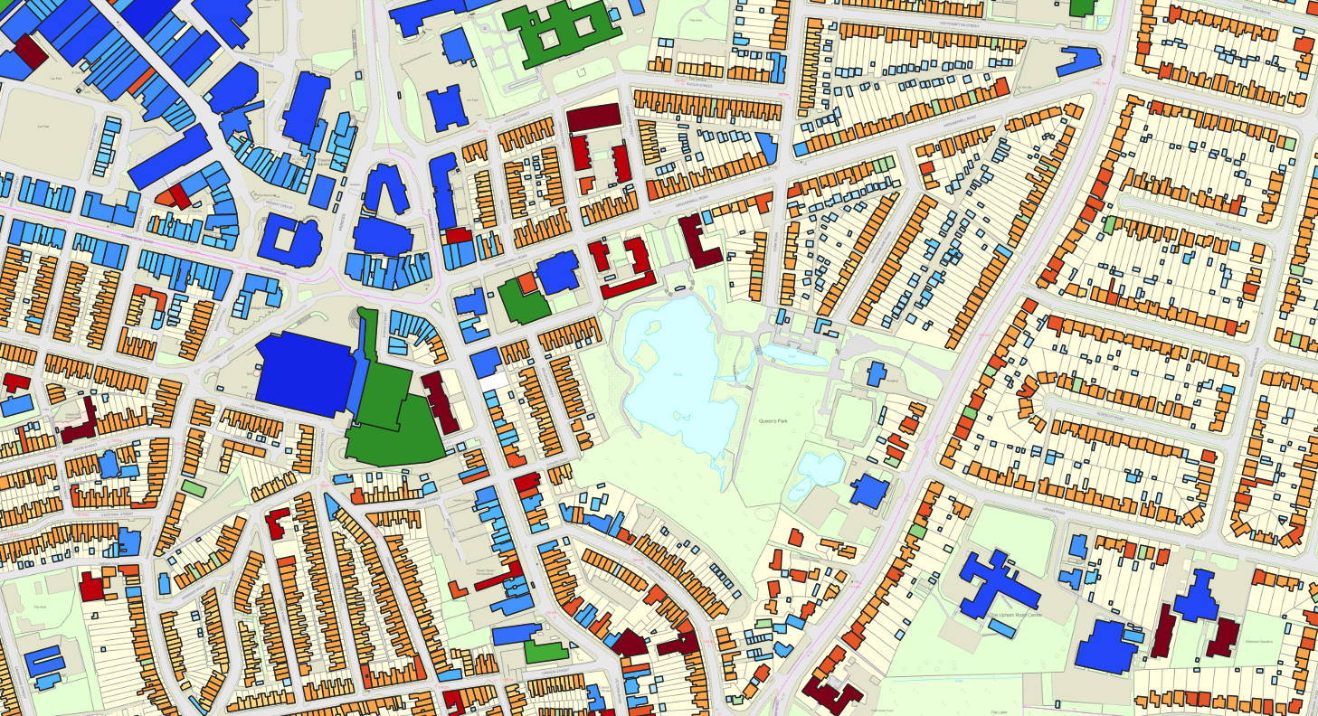
Getting the most from OS NGD Buildings
Our latest update brings Ordnance Survey’s National Geographic Database (NGD) Buildings data into the software. Not only are we feeding the data in once a month, we’re also producing on-the-fly analysis of the data to help you get the most out of this vast and in-depth database. We’ve taken the information stored within each building…
-

Reigate & Banstead Borough Council benefit from rapid migration to XMAP
XMAP was selected as Reigate’s corporate GIS system due to its strong functionality set and minimal deployment risk. It’s also generated multiple cost savings across the authority whilst increasing the use of GIS.
-

Rugby Borough Council use XMAP for remote working and fieldwork
Rugby Borough Council have adopted the full XMAP suite of GIS services to help them with communication of critical mapping data across the organisation. The council first started using XMAP Data Feeds to stream Ordnance Survey mapping into their QGIS desktop applications to help with validation of LLPG address points. This work then developed into using…
-

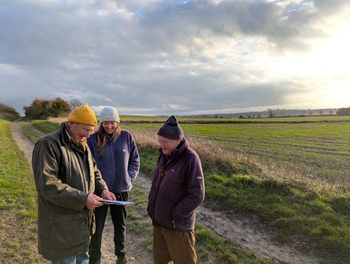
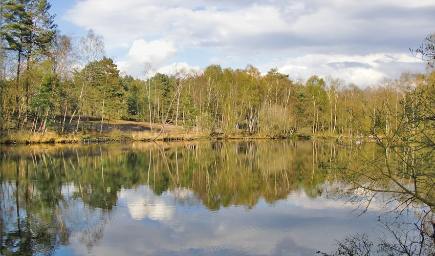
Woodland Opportunity Planning research
We’ve embarked on a research project on behalf of town, parish and community councils to bring together datasets and guidance for visualising where land could be used for tree planting and woodland creation. We’re working with data and strategic partners including Friends of the Earth, TerraSulis, NALC and Hart District Council. Read our Woodland Planning…
-
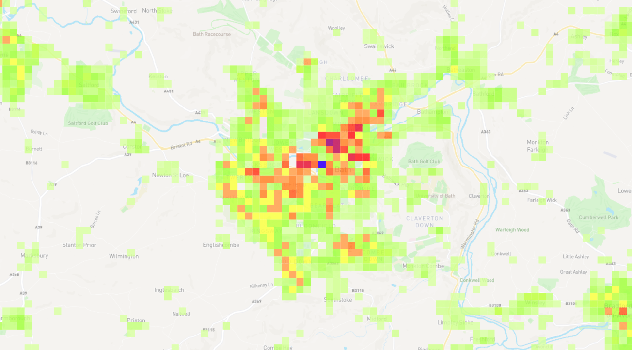
Property Density Layer aids urban planning
We’re always looking for ways to implement technology or data for the benefit of public sector. One theme that came up was the lack of information local councils had to help them carry out evidence-based research into how housing should be allocated in their local area. One of the key areas of interest was visualising…
-
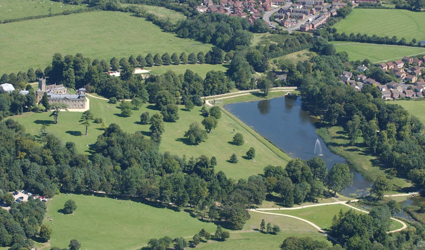
Surrey Heath Borough Council use XMAP with their independent cloud database
Surrey Heath Borough Council adopted XMAP to completely modernise their GIS and mapping services across the council. They needed something that was cost-effective, intuitive and engaging in order to increase GIS adoption across the council. The Challenge GIS information is a critical resource in Local Authorities as it plays a part in all aspects of…
-

South Somerset District Council switch to XMAP to engage with communities
In line with South Somerset District Council’s digital strategy, the switch to Geoxphere’s XMAP suite of geospatial services has enabled even stronger links with Town and Parish Councils. This has been achieved through proactive data sharing and collaborative working to communicate best practice for data and software use. Having an informed and capable team of Local Councils to…
-

North East Derbyshire & Bolsover use XMAP within their shared IT services
Both North East Derbyshire District Council and Bolsover District Council have operated a Joint ICT partnership for many years. This means their IT responsibilities are shared across the councils. This includes GIS. So utilising a cloud-based GIS system was a no-brainer as it meant all staff across the two councils could easily access mapping data…
-

Mid Sussex District Council use XMAP as their corporate GIS
Mid Sussex District Council adopted XMAP when looking to replace their existing on-premise corporate GIS system that was getting a bit long in the tooth. XMAP was chosen through a competitive tender process and was chosen on its competitive price, it’s functionality and the benefits gained from having a cloud-based system. Keith, who only has…
-
Swindon Borough Council use XMAP to publish INSPIRE datasets
Using XMAP to publish open data by WMS and WFS has allowed Swindon to use a cost-effective out-the-box solution rather than building something in-house.
-

Bath & North East Somerset Council use XMAP as their corporate GIS
B&NES have used XMAP for over 10 years as a business-critical system, particularly for their planning, land charges, transport, social care and tourism teams.