
Tag: local government
-
How XMAP helped Cannock Chase and Stafford automate Digital Planning data publishing
Cannock Chase and Stafford councils needed a way to publish planning data to the MHCLG Digital Planning Platform without creating…
-
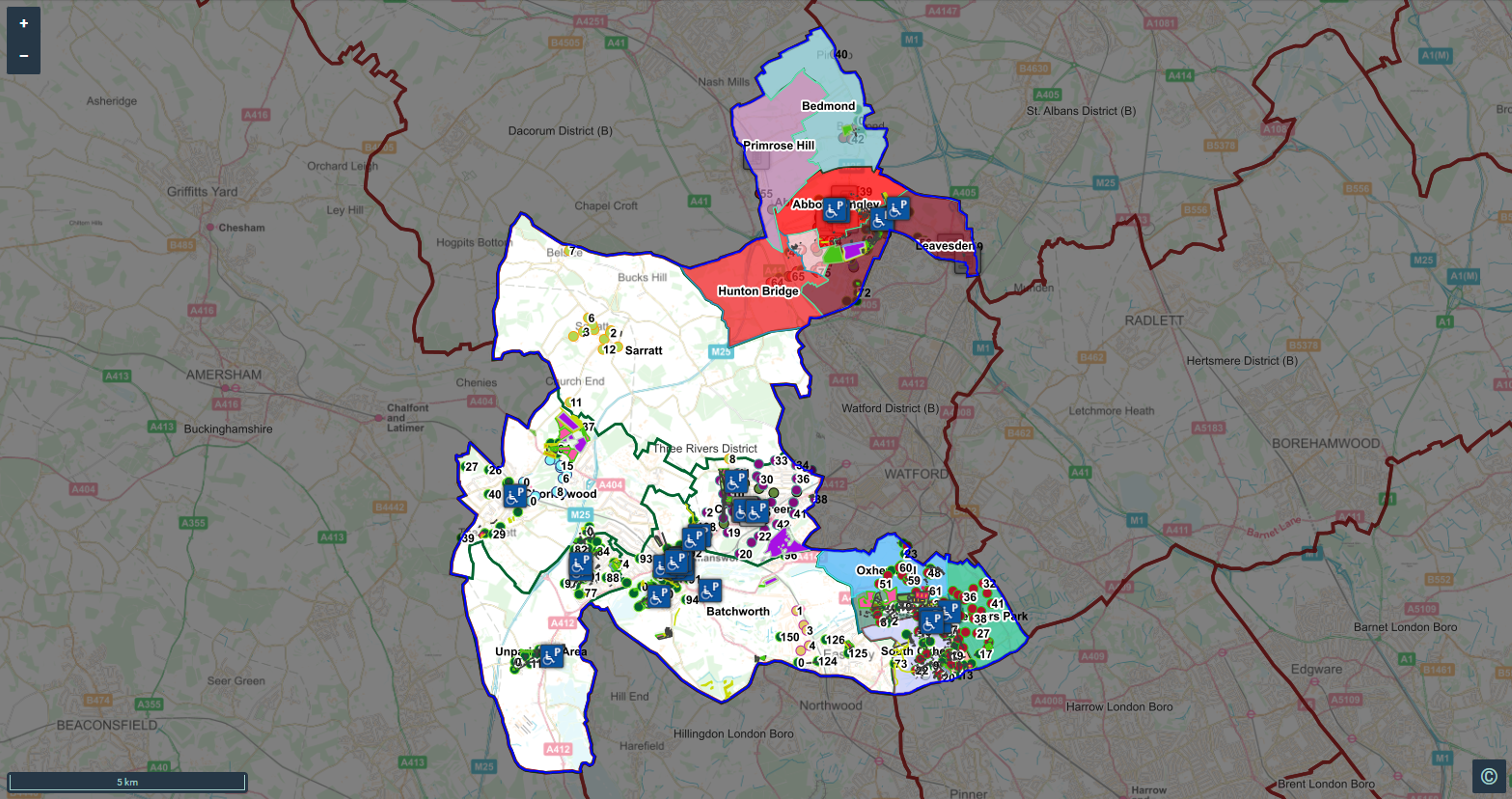
From Corporate GIS to Parish Councils: How Three Rivers Automated Local Data Sharing
Discover how XMAP helped Three Rivers District Council automate GIS data sharing with Parish Councils, providing easy access to current…
-

We’ve achieved Cyber Essentials Plus: what it means for your organisation
We are now Cyber Essentials Plus certified, covering our whole organisation and giving our customers the confidence that our security…
-
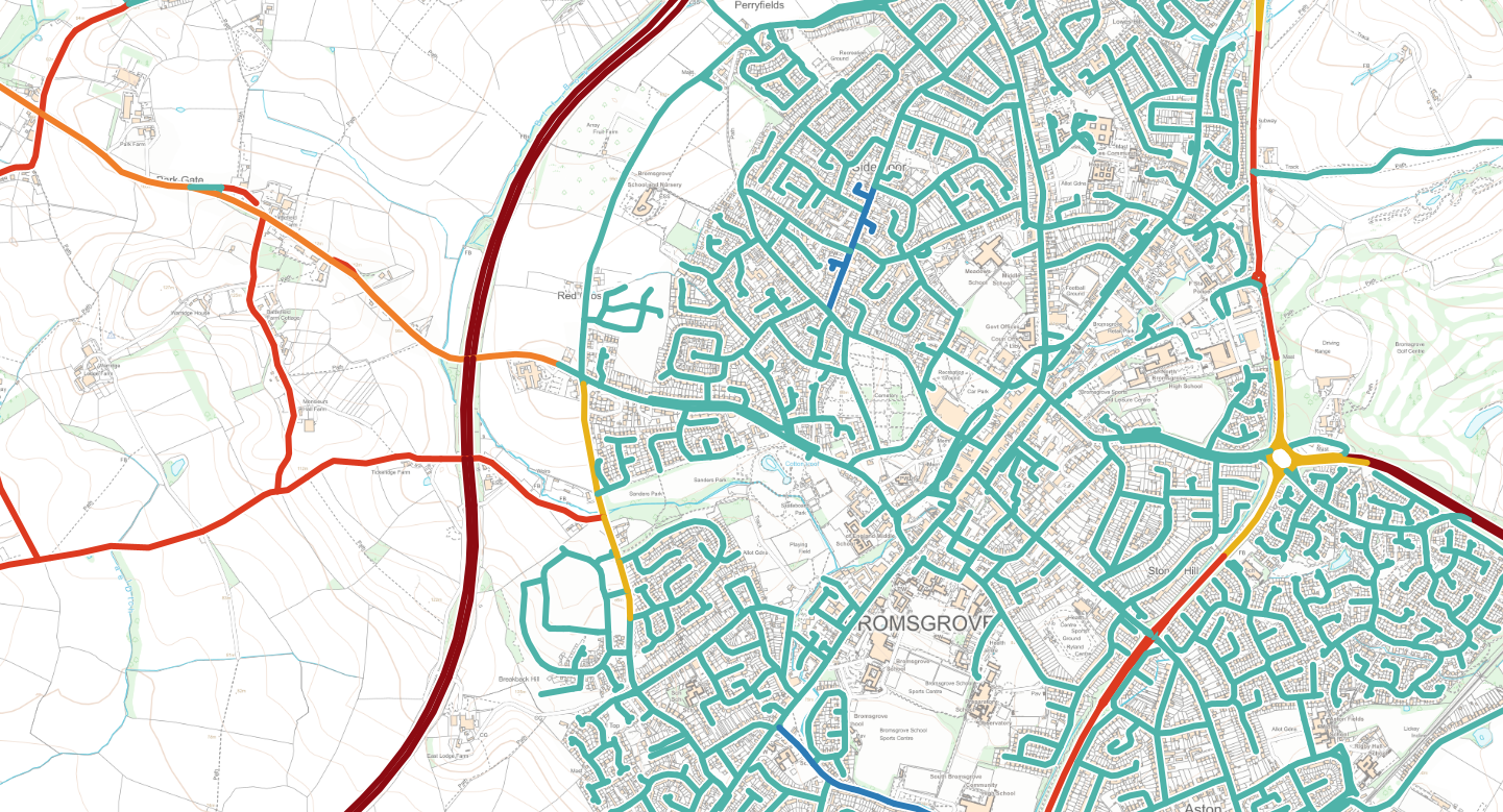
NGD Transport data released for all public sector XMAP and Parish Online users
we’ve published the NGD Transport theme which includes road speed limits, average speeds, bus lanes and cycle lanes. Our update…
-
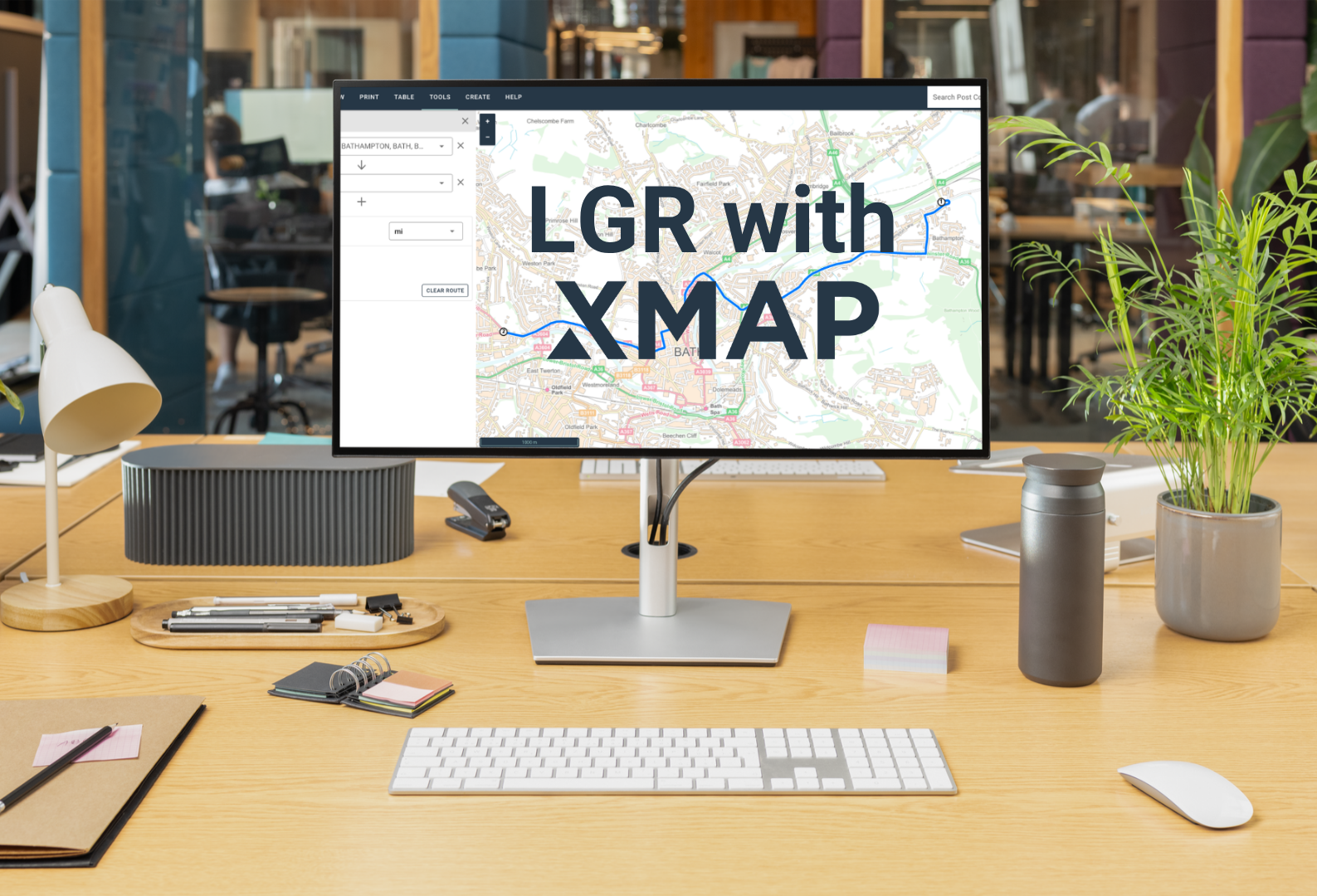
One council, one map: why XMAP fits for LGR
On the 16th July, the government announced local government reorganisation decisions for a further 14 areas. We’re offering to help,…
-

Geoplace Street Naming & Numbering Collaboration and Innovation Award 2026 for Surrey Heath Borough Council thanks to XMAP collaboration
Surrey Heath Borough Council has won the **GeoPlace Street Naming & Numbering Collaboration & Innovation Award 2026** after partnering with…