
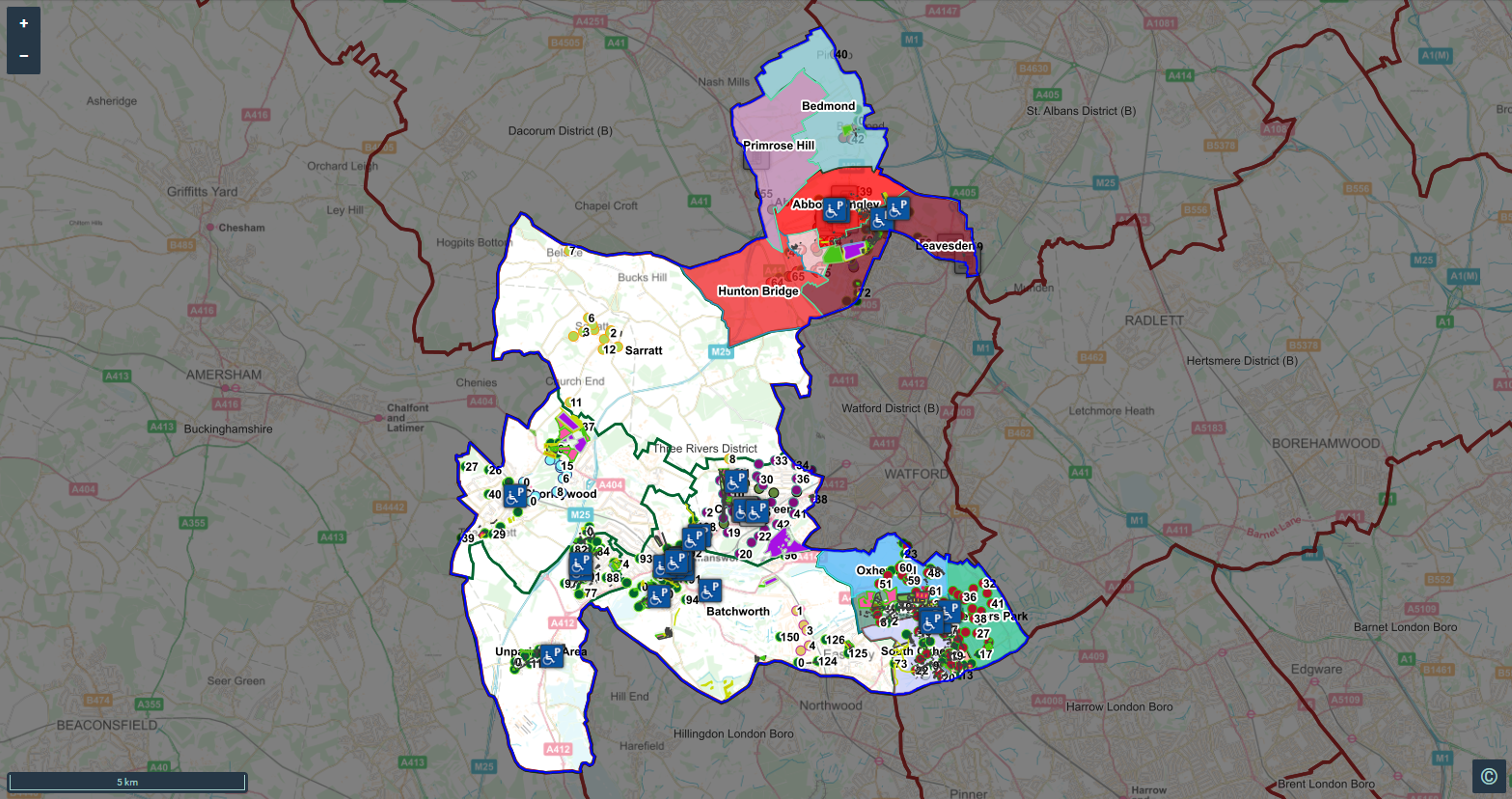
Three Rivers District Council needed a simple way to get up-to-date corporate GIS data into the hands of Town and Parish Councils across Hertfordshire without repeatedly exporting files, emailing datasets or asking local council staff to become GIS experts. Using XMAP, the council now shares community, highways and planning data automatically through Parish Online.
The Issue: Getting council GIS data to the people who need it
For local authorities, maintaining corporate GIS data is only part of the challenge. Making that information accessible to Local Councils can create an entirely separate workload.
Every time a corporate dataset changes, the traditional approach can mean exporting GIS files, refining them and redistributing them to individual councils.
For a busy GIS team, that quickly becomes a repetitive and time-consuming task.
There is also a challenge at the other end of the process. Local Council staff manage a wide range of responsibilities and may have little or no GIS experience. When they need council data for work such as Neighbourhood Plans or Local Nature Recovery Strategies (LNRS), being sent shapefiles, GeoPackages or geodatabases isn’t necessarily a practical solution.
Three Rivers District Council therefore needed a better way to bridge the gap between its corporate GIS and the local councils that needed access to its data.
The Solution: Automated data sharing through Parish Online
XMAP provided that unique bridge through Parish Online, our intuitive web-based GIS platform for Parish and Town Councils.
Rather than asking Three Rivers to change its corporate GIS, XMAP acts as the link between the council’s existing systems and Parish Online.
Our tools and processes can work with a range of data-sharing methods, including SHP files delivered via SFTP, open or password-protected WFS feeds, and ArcGIS Services.
Once configured, updated corporate datasets can be processed and made available in the appropriate Parish Online accounts automatically.
For Three Rivers, this means its GIS team can concentrate on GIS rather than carrying out repetitive data extraction and distribution. For the parishes, it means useful local authority information is available through an accessible web portal, without specialist desktop GIS software or the need to manage complex GIS files.
The Result: Current local data, without the manual workload
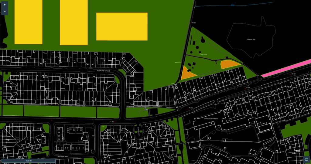
Corporate data from Three Rivers now flows into Parish Online automatically.
Parish Councils across Hertfordshire can access current community, highways and planning data at their fingertips, while the council avoids the recurring task of packaging and emailing updated files.
The result is a simpler data-sharing process for everyone involved: less manual administration for the district council and easier access to valuable geographic information for town and parish councils.
And the approach isn’t limited to Three Rivers. XMAP now runs similar automated data-sharing processes for many other Districts, Counties and Unitary Authorities, helping local authorities make more of their existing GIS data by getting it to the communities that can use it.
Want to make council data easier to share?
If your authority holds useful corporate GIS data but distributing it to Parish and Town Councils is creating unnecessary work, XMAP can help connect your existing systems with Parish Online and automate the process.
Talk to us about automated data sharing with Parish Online