
Geoxphere has helped Cannock Chase and Stafford councils create an automated approach to publishing and maintaining geographic data and supporting documentation on the Ministry of Housing, Communities and Local Government (MHCLG) Digital Planning Platform. Using XMAP alongside PostgreSQL views, WFS and automated ETL processes, the councils can keep their planning data up-to-date without adding extra steps to their day-to-day data management.
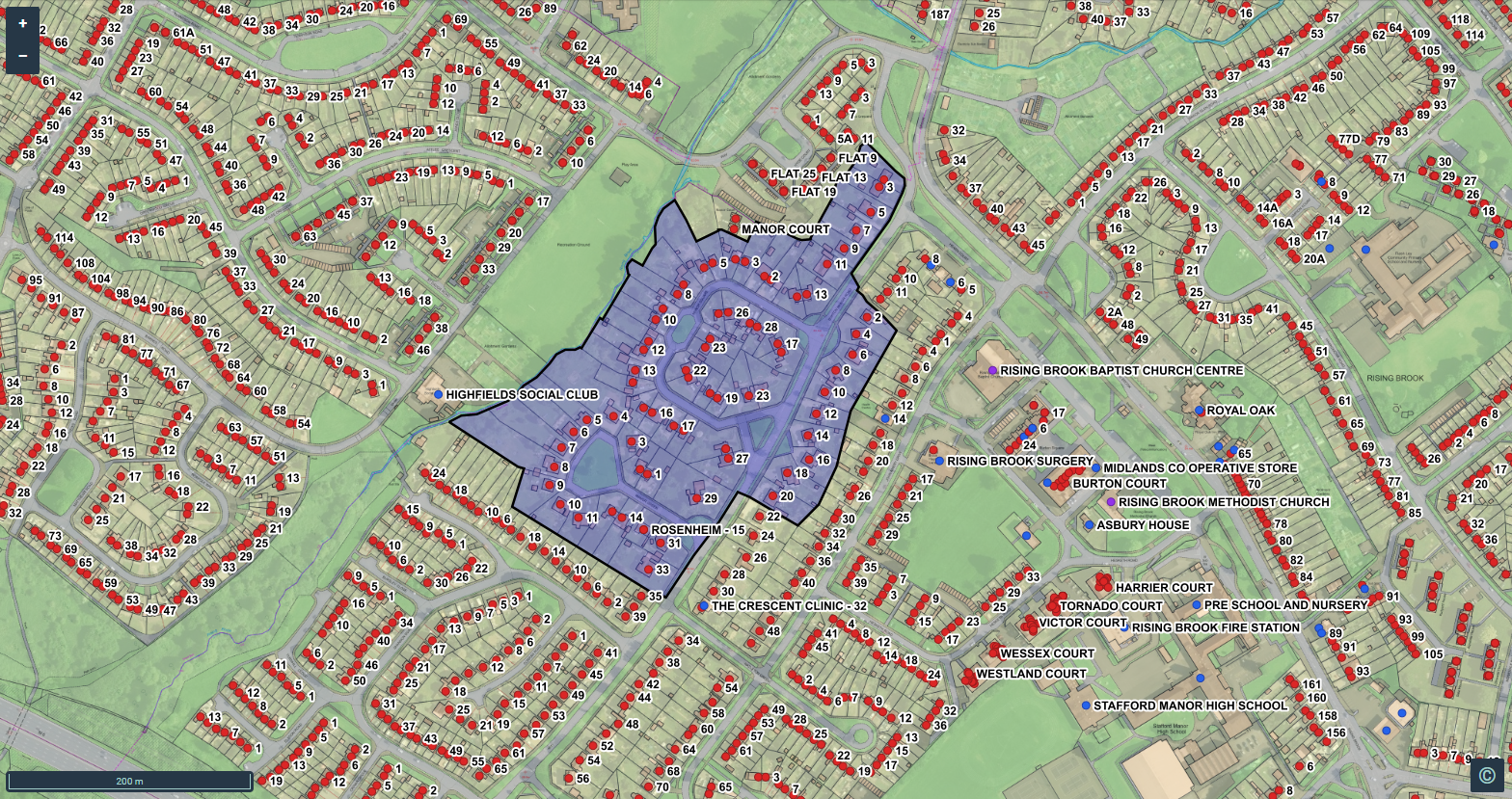
The Issue: Publishing data without creating more work
Like many local authorities trying to promote open data, open standards (and generally make the digital world a better place), Cannock Chase and Stafford wanted to publish key datasets to the MHCLG Digital Planning Platform, including Conservation Areas and Article 4 Directions.
Publishing the geographic data itself was relatively straightforward. The required data could be structured to meet the specified standards and shared as a Web Feature Service (WFS).
The challenge came with the accompanying data documentation.
The councils needed to provide a dynamic CSV document that would remain aligned with the geographic data as it changed. While the Digital Planning Platform could consume the spatial data through WFS, the required data documentation could not simply be supplied as JSON through the same feed.
That created an important question: how could the councils meet the Digital Planning data requirements without introducing a separate, manual process every time their source data changed?
The Solution: Automating the process with XMAP
The Geoxphere team worked with the GIS leads at Cannock Chase and Stafford to create a workflow using XMAP that could operate largely in the background.
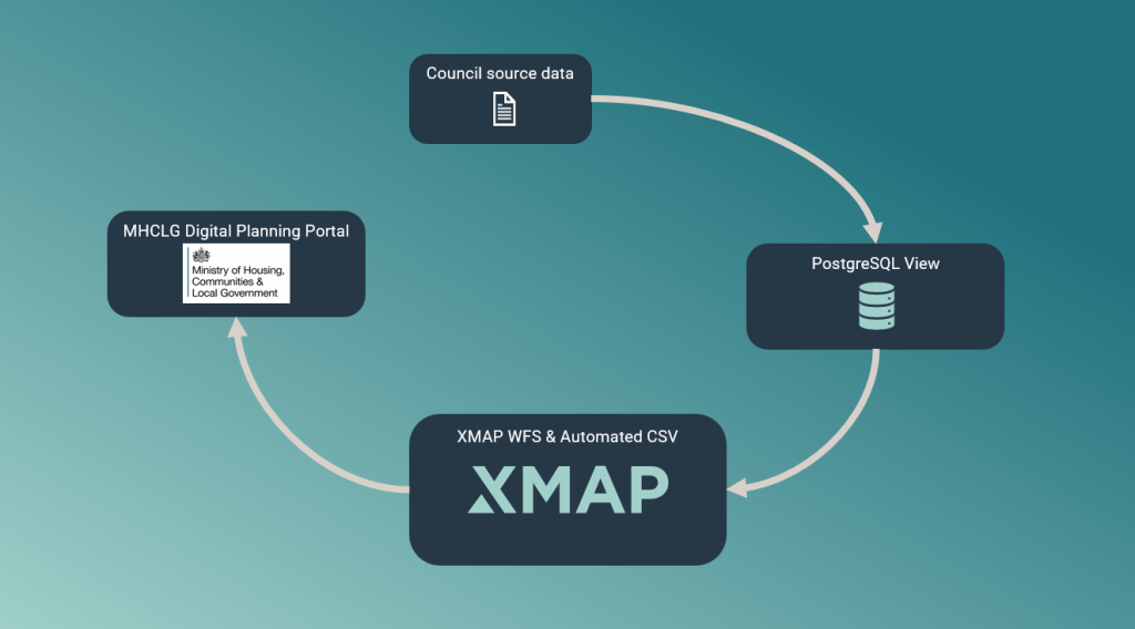
The first step was to create dynamic views of the councils’ Conservation Areas and Article 4 Directions data in PostGIS (PostgreSQL).
These views were built around the MHCLG data specifications, using column aliases and pre-populated values where required. Crucially, this meant the councils did not have to restructure the source datasets they already used.
Their GIS teams could continue maintaining their information in the way that worked for them, while automatic processes (PostGIS Views) transformed it into the structure required for Digital Planning.
When the source data changed, the Views changed with it.
The resulting datasets were then shared with the Digital Planning Platform through WFS feeds configured in XMAP using a simple, no-code interface.
A similar approach was used for the accompanying data documentation. PostgreSQL views were created to structure the required information, with an automated ETL process generating and publishing the CSV to a publicly accessible web location.
The workflow also listens for changes to the underlying spatial tables. When the GIS team or XMAP users add or update information, the supporting data documentation can be republished automatically.
The Result: Planning data that stays up-to-date
Cannock Chase and Stafford now have an automated way to publish their data and keep it current on the MHCLG Digital Planning Platform.
Rather than maintaining separate copies of information or manually recreating documentation following every change, the councils can continue managing their source data through their established workflows.
XMAP, together with the supporting PostgreSQL, WFS and automated processes implemented by Geoxphere, takes care of the publishing workflow behind the scenes.
The result is a practical example of how XMAP can help local authorities meet evolving Digital Planning and open-data requirements, while reducing the administrative burden placed on their GIS teams. There was no new infrastructure required, no new software licences, and Geoxphere provided the assistance and support for free.
Looking for a simpler way to publish and maintain your council’s data? Get in touch with the XMAP team to discuss your requirements and find out how we can help.