
Tag: mapping
-
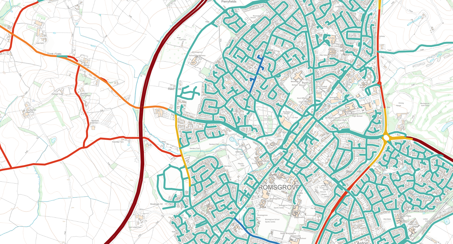
NGD Transport data released for all public sector XMAP and Parish Online users
we’ve published the NGD Transport theme which includes road speed limits, average speeds, bus lanes and cycle lanes. Our update…
-

NASA fire detection data now available in Parish Online and XMAP
NASA’s near real-time fire detection data is now available in Parish Online and XMAP. As wildfires continue to affect communities…
-
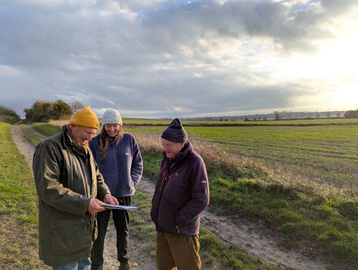
Parish Online supports Nature Recovery LNRS project in Cambridgeshire
The Parish Online team have been working closely with the Community Nature team at Cambridgeshire County Council to make mapping…
-
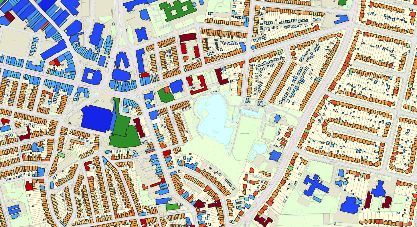
Getting the most from OS NGD Buildings
Our latest update brings Ordnance Survey’s National Geographic Database (NGD) Buildings data into the software. Not only are we feeding…
-

Woodland Opportunity Planning research
We’ve embarked on a research project on behalf of town, parish and community councils to bring together datasets and guidance…
-
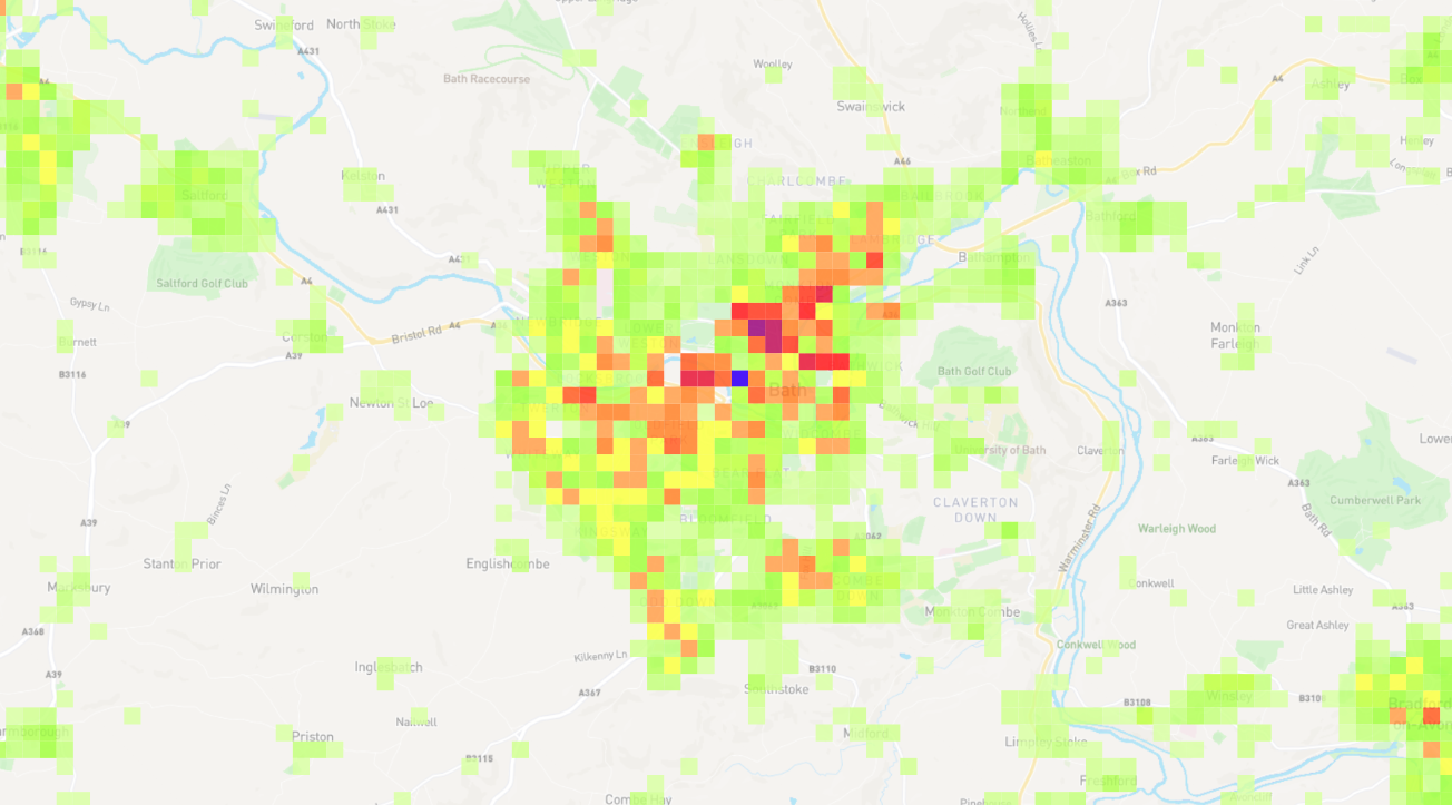
Property Density Layer aids urban planning
We’re always looking for ways to implement technology or data for the benefit of public sector. One theme that came…